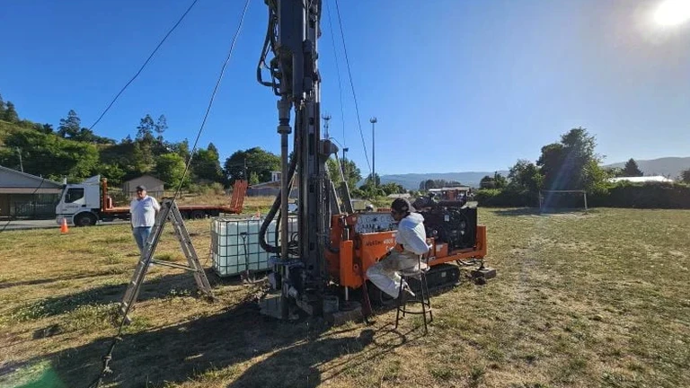
Mildura's semi-arid climate and position on ancient Murray River floodplains create a subsurface profile that changes fast. A few metres separate reactive clay from loose alluvial sand, and blind assumptions about bearing capacity end in cracked slabs. Exploratory test pits are the simplest way to get eyes on the strata before committing to a foundation design. We excavate to the depth the project needs, log the profile against AS 1726, and extract undisturbed and bulk samples for lab correlation. Where deeper refusal is expected, we pair the excavation with spt drilling to reach competent material and confirm refusal depth. Every pit becomes a small window into the ground that no borehole log alone can match.
A 2.4-metre-deep exploratory test pit in Mildura's Bookmark clay reveals more about footing behaviour than three boreholes drilled blind.
Local considerations
AS 1726 and AS 4678 frame the minimum investigation standard, but in Mildura the real risk is misreading the soil moisture state at the time of excavation. A pit dug after winter rain shows soft, workable clay; the same material six months later is iron-hard and fissured. Foundations designed on the wet profile can experience differential heave during the next dry cycle. We mitigate this by recording moisture condition at the cut face, taking Atterberg samples at the design bearing level, and cross-referencing with long-term rainfall data from the Mildura Airport station. Unsupported pit walls in loose cohesionless sand are another hazard; our SWMS mandates batter-back or trench shield installation beyond 1.5 m depth, no exceptions.
Frequently asked questions
What is the typical cost of an exploratory test pit in Mildura?
Test pit programmes in the Mildura area generally range from AU$870 to AU$1,430 per pit, depending on depth, access constraints, and whether laboratory testing is included. A multi-pit campaign with sampling and reporting provides better value per excavation than a single isolated pit.
How deep can you excavate a test pit safely?
Standard pit depth is 1.5 to 3.0 metres. Beyond 1.5 m in sandy or loose material we install trench shields or batter the walls back to a safe angle. Deeper excavations require a site-specific risk assessment and may shift to a borehole programme if ground conditions or space constraints make shoring impractical.
What information does a test pit provide that a borehole cannot?
A test pit exposes a continuous vertical face, so you see fissures, root penetration, gypsum bands, and the transition between fill and natural ground directly. Boreholes recover disturbed samples; the pit lets us cut block samples, measure density in-situ on a trimmed level, and photograph the stratigraphy at full scale.
How do you backfill and compact the pit after logging?
We backfill in compacted lifts not exceeding 200 mm loose thickness, using the excavated material if suitable or imported granular fill if specified. Compaction is verified with a nuclear density gauge or sand cone test when the pit falls within a future pavement or foundation footprint.