← Home · Underground Excavations

Geotechnical Excavation Monitoring in Mildura: Risk Mitigation for Deep Cuts Along the Murray

Together, we solve the challenges of tomorrow.

LEARN MORE →

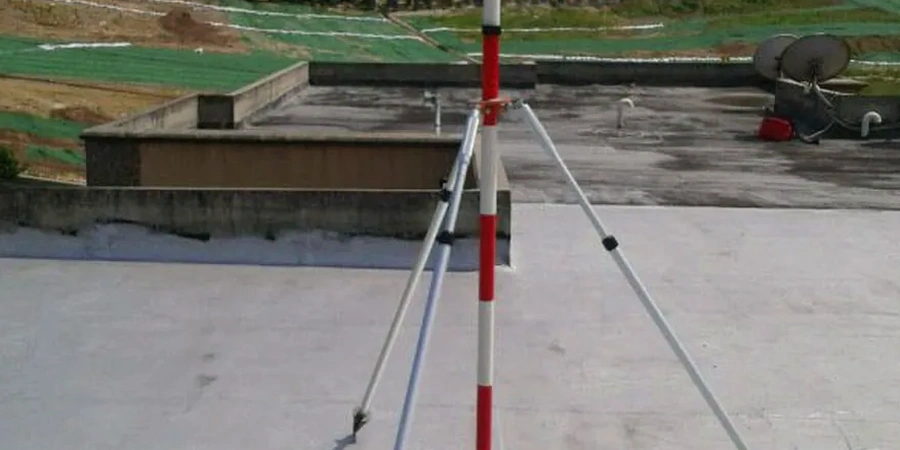
Mildura sits at roughly 50 metres above sea level on ancient floodplain deposits of the Murray River, where the soil profile can shift from stiff red clay to loose saturated sand within a single metre of depth. The local council recorded over A$2.4 billion in building approvals during the 2022-2023 cycle, much of it involving multi-level construction with basement excavations that cut into the water table. Our team has instrumented more than a dozen excavations across the Sunraysia district, and the consistent challenge is managing groundwater drawdown without triggering settlement in neighbouring citrus packing sheds or century-old brick structures. Before a shoring design is finalised, a deep excavation assessment that quantifies lateral earth pressures against the retaining system becomes essential, particularly where the excavation face intersects the Blanchetown Clay and the underlying Parilla Sand.

The difference between a warning and a failure in Mildura's Parilla Sand is often less than four millimetres of differential settlement at the top of the soldier pile.

Methodology and scope

The geotechnical contrast between the Deakin Avenue commercial corridor and the riverfront residential precinct illustrates why monitoring arrays must be designed for site-specific conditions. Deakin Avenue sits on relatively competent calcareous clays where inclinometer profiles tend to show gradual cantilever deformation, whereas the riverfront properties near Apex Park intercept perched water lenses that accelerate lateral movement within hours of cutting. Our monitoring programmes combine in-place inclinometers with vibrating wire piezometers and automated total station prisms, feeding data into a cloud dashboard that triggers alerts when deformation exceeds 70% of the predicted design value. This threshold-based approach, grounded in the observational method described in AS 4678, allows the contractor to deploy contingency measures such as additional props or recharge wells before a serviceability limit state is reached.
Geotechnical Excavation Monitoring in Mildura: Risk Mitigation for Deep Cuts Along the Murray
Technical reference image — Mildura

Local considerations

The most common mistake we see in Mildura is a contractor assuming that the stiff surficial clay will behave as an impermeable barrier, then opening a 4-metre cut without depressurising the sand lenses trapped beneath. Within 48 hours the base heaves, the shoring deflects, and the pavement along Fifteenth Street develops a crack that takes six months and a council investigation to resolve. Instrumentation catches the pore pressure spike long before the visual damage appears. Another frequent scenario involves vibration-induced settlement from sheet pile driving next to unreinforced masonry buildings in the CBD, where peak particle velocity thresholds set in AS 2187.2 must be verified continuously with seismographs. Skipping real-time monitoring in these contexts can convert a straightforward excavation into a protracted insurance claim.

Need a geotechnical assessment?

Reply within 24h.

Email: contact@geotechnicalengineering1.co

Technical parameters

ParameterTypical value
Typical monitoring frequency during excavationDaily readings; twice-daily within 2 m of final depth
Inclinometer accuracy (MEMS sensor)±0.25 mm/m per reading interval
Piezometer response time< 5 seconds for VW type in saturated sand
Settlement marker precision±0.5 mm via digital level to local benchmark
Trigger threshold (alert level)70% of design deflection, per observational method
Data transmission intervalConfigurable from 1 minute; standard 15-minute push to dashboard
Typical monitoring zone2 × excavation depth from face for settlement influence

Associated technical services

01

Standard urban excavation monitoring

For cuts 2.5–5 metres deep within 15 metres of light structures. Includes inclinometer casing in two orthogonal planes, four settlement pins along the adjacent footpath, and one standpipe piezometer with weekly manual readings.

02

Deep basement and pump station monitoring

For excavations exceeding 5 metres or penetrating the water table. Adds automated VW piezometers, in-place inclinometer strings with hourly polling, and a total station network tracking prisms on adjacent building façades.

03

Vibration and noise compliance monitoring

Required where sheet piling or rock hammering occurs within 50 metres of heritage-listed buildings or operating packing facilities. Triaxial geophones log peak particle velocity against AS 2187.2 criteria, with SMS alerts to the site supervisor.

Applicable standards

AS 4678-2002: Earth-retaining structures (observational method provisions), AS 1726-2017: Geotechnical site investigations (instrumentation guidance), AS 2187.2-2006: Explosives — Use of explosives (vibration monitoring section), AS/NZS 1170.0:2002: Structural design actions — General principles

Frequently asked questions

How much does geotechnical excavation monitoring cost for a typical Mildura basement project?

For a 3-5 metre deep excavation with a standard instrument array, monitoring programmes in Mildura typically range between AU$1,440 and AU$4,420 depending on duration, number of sensors, and reporting frequency. A four-week programme with manual inclinometer readings sits at the lower end, while a three-month automated system with cloud dashboard access and weekly engineering reports approaches the upper end.

When is monitoring legally required for an excavation in Victoria?

The Victorian Building Regulations and WorkSafe Victoria guidelines require monitoring when an excavation exceeds 1.5 metres depth and is adjacent to a public road, footpath, or neighbouring property. Council permits in Mildura routinely condition monitoring plans for any excavation deeper than 3 metres within the CBD, referencing AS 4678 and the Building Act 1993.

What happens if the monitoring system triggers an alarm outside working hours?

The cloud platform sends SMS and email alerts to a predefined contact list. The engineer on duty reviews the data remotely and determines whether the movement is a transient response to construction activity or a genuine trend toward a limit state. If the latter, the contingency plan is activated, which may involve halting excavation, flooding the cut, or installing additional bracing, depending on the pre-agreed trigger response matrix.

Can you monitor an excavation while piling is still ongoing?

Yes, and this is often the most valuable period for data collection. Installing inclinometer casing and settlement markers before piling commences captures baseline conditions and measures ground response to vibration and stress relief during installation. This early data helps refine the excavation sequence and provides a legal record of pre-construction conditions.

How long does monitoring need to continue after the excavation is backfilled?

Post-backfill monitoring typically runs for a minimum of two weeks to confirm that pore pressures are returning to equilibrium and that no residual settlement is occurring. For deep excavations near sensitive structures, we recommend continuing automated monitoring for four to six weeks post-completion, with a final report documenting stabilised readings before instruments are decommissioned.

Location and service area

We serve projects across Mildura and surrounding areas.

View larger map