Together, we solve the challenges of tomorrow.
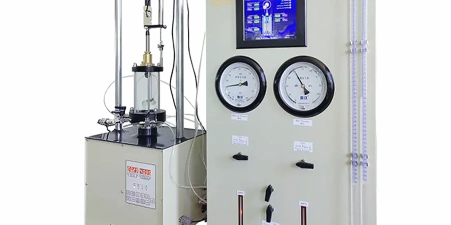
LEARN MORE →Geotechnical site investigation in Mildura forms the essential first step in any construction or civil engineering project, providing critical data about subsurface conditions that directly influence design, safety, and long-term performance. The category encompasses a range of testing and sampling methodologies aimed at characterising soil and rock properties, groundwater regimes, and potential geohazards beneath a site. In a regional centre like Mildura, where expansive clay soils and variable alluvial deposits dominate the landscape, understanding ground behaviour is not merely a regulatory checkbox but a fundamental engineering necessity. A robust investigation program typically integrates techniques such as borehole drilling, test pitting, laboratory analysis, and in-situ penetration testing, with the Cone Penetration Test (CPT) serving as a particularly valuable tool for profiling the layered sediments common along the Murray River corridor.
The geological context of Mildura is dominated by the Murray Basin, a vast sedimentary sequence comprising marine and terrestrial deposits from the Tertiary and Quaternary periods. Near the surface, practitioners encounter the Woorinen Formation, characterised by calcareous clays, silts, and fine sands that exhibit moderate to high plasticity. These materials are notoriously reactive to moisture changes, posing significant challenges for footing design and pavement performance due to shrink-swell behaviour. Deeper sequences include the Parilla Sand, a well-sorted fine to medium sand unit that can present issues with collapse potential or scour. Investigations must also consider the influence of the Murray River and its ancestral channels, which have left behind complex lenses of soft, compressible clays and saturated sands that can complicate deep excavations or pile design. A thorough investigation program, often incorporating the CPT for its continuous profiling capability, is indispensable for delineating these variable stratigraphic boundaries.
In Australia, geotechnical investigations are governed by a framework of national standards that ensure consistency, reliability, and safety in data collection and interpretation. The primary guiding documents are AS 1726-2017, which sets out the minimum requirements for site investigations and the classification of soil and rock, and AS 2870-2011, specifically addressing residential slabs and footings on reactive soils. For larger infrastructure and commercial projects, AS 5100.3 for bridge design and AS 2159 for piling provide additional investigation depth and frequency requirements. These standards mandate the appropriate selection of investigation methods, the qualifications of supervising practitioners, and the rigorous reporting of findings. In Mildura's reactive clay environment, adherence to AS 2870 is particularly critical, as it defines the characteristic surface movement that must be accommodated in design, a parameter derived directly from site-specific investigation data including soil suction profiles and Atterberg limit testing.
The types of projects requiring comprehensive investigation in the Mildura region span the full spectrum of development. Residential subdivisions on greenfield sites demand detailed reactivity assessments to classify lots and prescribe footing systems under AS 2870. Commercial and industrial buildings, such as the new logistics hubs and agricultural processing facilities emerging along the Calder Highway, necessitate deep boreholes and in-situ testing to evaluate bearing capacity and settlement for heavily loaded slabs and pavements. Infrastructure projects, including road widening, bridge replacements, and levee bank upgrades along the Murray, rely on investigations to assess slope stability, scour potential, and foundation conditions. Even smaller-scale works like retaining walls, swimming pools, and solar farm installations benefit from targeted investigations, with the CPT offering a rapid and cost-effective means of assessing soil strength and consistency across a site. For any project where ground failure could threaten life, property, or operational continuity, a properly scoped investigation is the foundation of responsible engineering.
A geotechnical site investigation aims to characterise subsurface soil, rock, and groundwater conditions to inform safe and economical design of foundations, earthworks, and pavements. It identifies potential geohazards such as reactive clays, soft soils, or high water tables, providing the parameters required for structural analysis and ensuring compliance with Australian Standards like AS 1726 and AS 2870.
The scope depends on the project type, scale, and the anticipated ground conditions. Residential developments typically follow AS 2870 guidelines for reactivity assessment, while commercial or infrastructure projects require a more detailed investigation per AS 1726. A geotechnical engineer should design the program, considering Mildura's known expansive clays and alluvial variability, often recommending a combination of boreholes, test pits, and in-situ tests like the CPT.
The primary standards are AS 1726-2017, which specifies general site investigation requirements and soil/rock classification, and AS 2870-2011, which deals specifically with residential slabs and footings on reactive soils. Additional relevant standards include AS 2159 for piling design and AS 5100.3 for bridge foundations, all of which dictate minimum investigation depths, testing frequencies, and reporting protocols.
Much of Mildura is underlain by highly reactive clay soils from the Woorinen Formation, which undergo significant volume changes with seasonal moisture fluctuations. This shrink-swell behaviour can cause substantial damage to lightly loaded structures and pavements if not properly accommodated. A site investigation quantifies this reactivity through laboratory testing, enabling engineers to design footing systems that mitigate movement in accordance with AS 2870.