← Home · Seismic

Seismic Microzonation in Mildura: Practical Site Response for Safer Projects

Together, we solve the challenges of tomorrow.

LEARN MORE →

AS/NZS 1170.4 requires site-specific hazard assessment when ground conditions suggest amplification could change the design spectrum, and that is exactly the scenario across much of Mildura. The city sits on deep Tertiary and Quaternary sediments of the Murray Basin, where soft alluvial clays and sands overlie the Renmark Group at variable depth. The contrast between stiff aeolian dunes near the river and the floodplain deposits creates a patchwork of site classes that a generic code approach cannot capture. For projects along Fifteenth Street or near the riverfront, we run non-invasive shear wave velocity profiling and combine it with borehole data to build reliable one-dimensional site response models. The result is a design ground motion that reflects Mildura conditions rather than a distant rock reference, which often reduces unnecessary conservatism in foundation design.

The Parilla Sand impedance contrast beneath Mildura can amplify ground motion at periods that matter most for low-rise commercial buildings.

Our approach and scope

Mildura's subsurface is dominated by the Shepparton Formation: stiff to hard clays with interbedded sands and occasional gravel lenses, overlying the Parilla Sand at depths that vary from 15 to over 60 metres across the urban area. The water table sits relatively deep, typically 10 to 20 metres below ground surface, which reduces liquefaction risk in the shallow clays but does not eliminate it in the saturated sand layers found in the older Murray River paleochannels. In our experience, the biggest surprise for local engineers is the impedance contrast at the Parilla Sand interface: it can produce significant amplification at periods relevant to low-rise masonry and tilt-up structures common in Mildura's commercial precincts. We integrate these observations with CPT testing when the site is accessible by truck-mounted rig, obtaining continuous stratigraphy that refines the velocity model without the disturbance inherent in SPT sampling. A microzonation study here typically requires at least three to five measurement points to capture lateral variability across a development footprint.
Seismic Microzonation in Mildura: Practical Site Response for Safer Projects
Technical reference image — Mildura

Site-specific factors

One thing we notice repeatedly in Mildura is that borehole logs from standard geotechnical investigations stop at 6 or 10 metres, missing the deeper stratigraphy that controls site response. A site that looks like Class C from the top few metres can shift to Class D or E once the full 30-metre profile is measured. This matters because an underestimated site class means an underestimated design spectrum, and the difference can be 30 percent or more in spectral acceleration at the building period. The Murray Basin sediments are not uniform: paleochannels filled with loose saturated sands cut through the stiff clays, and those sands are candidates for cyclic softening even under moderate shaking. Skipping a microzonation study on a multi-unit residential project in Mildura is a gamble that no structural engineer should have to take when signing off on a performance-based design; the cost of the study is negligible compared to the liability of an under-designed lateral system.

Need a geotechnical assessment?

Reply within 24h.

Email: contact@geotechnicalengineering1.co

Technical parameters

ParameterTypical value
Applicable StandardAS/NZS 1170.4:2007 (R2018)
Site Class Range in MilduraClass C to D, occasionally E near paleochannels
Vs30 Typical Range180 m/s to 450 m/s
Investigation Depth30 m minimum, deeper if bedrock not reached
Primary MethodsMASW, downhole seismic, HVSR
Analysis SoftwareDEEPSOIL, Strata, SHAKE2000
Output DeliverableDesign response spectrum and site amplification factors

Complementary services

01

Site Class Determination and Vs Profiling

MASW and downhole seismic methods to measure Vs30 and assign site class per AS 1170.4, replacing default assumptions with measured shear wave velocity profiles across the Parilla Sand and Shepparton Formation.

02

One-Dimensional Site Response Analysis

Equivalent linear analysis using DEEPSOIL or Strata, incorporating local modulus reduction curves and damping ratios to compute surface spectra from bedrock motions scaled to the regional hazard.

03

Liquefaction Potential Screening

SPT-based and CPT-based screening following the NCEER/Youd-Idriss framework, calibrated for the silty sands found in paleochannels beneath Mildura's industrial estates.

Regulatory framework

AS/NZS 1170.4:2007 (R2018) – Structural design actions, Part 4: Earthquake actions in Australia, AS 1726:2017 – Geotechnical site investigations, NEHRP Provisions for Seismic Regulations for New Buildings

Quick answers

Is seismic microzonation mandatory for building projects in Mildura?

Not always mandatory, but AS/NZS 1170.4 requires site-specific studies when ground conditions indicate that site amplification could significantly alter the design spectrum. In Mildura, where deep sediments and paleochannels create variable site classes across short distances, a microzonation study provides the measured evidence to justify the design spectrum and often reduces conservatism compared to default assumptions.

What is the typical cost range for a seismic microzonation study in Mildura?
How long does a microzonation study take from start to finish?

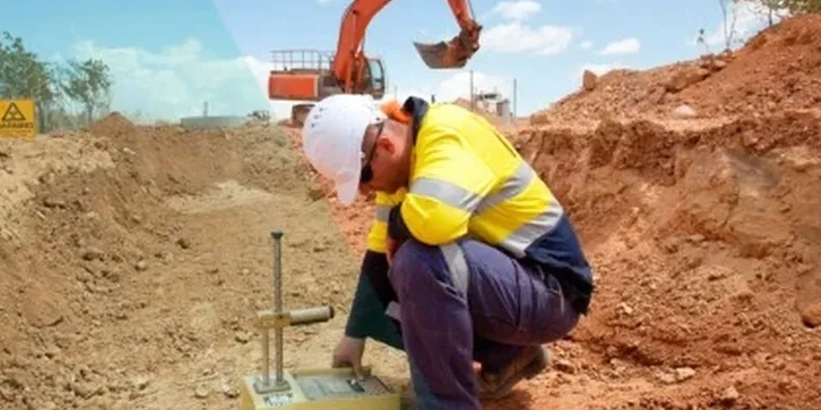
Fieldwork for MASW and downhole seismic testing at a typical Mildura site takes one to two days. Processing, modelling, and reporting add another two to three weeks, assuming existing borehole logs are available. If additional drilling or CPT soundings are needed to constrain the velocity model, the timeline extends by the drilling schedule, which can vary with rig availability in the Sunraysia region.

Can you use existing borehole data for the site response model?

Existing borehole logs are valuable, but they rarely provide shear wave velocity data needed for site response analysis. We use them to constrain layer boundaries and soil types, then overlay MASW or downhole seismic results to assign velocity to each layer. The combination of borehole stratigraphy and geophysical measurements produces a much more reliable model than either dataset alone.

Location and service area

We serve projects across Mildura and surrounding areas. More info.

View larger map