The first thing you’ll notice on a Mildura site is the drilling rig. It’s a track-mounted Dando Terrier or similar, compact enough to maneuver between citrus blocks and close to riverbanks without doing too much damage to the ground. We set it up to push hollow-stem augers through that iconic Mallee topsoil, chasing the interface where the reddish sandy loam meets the Bookpurnong Formation clays underneath. That interface, where water tends to perch after heavy irrigation or a wet winter, is exactly where most slope problems start around here. With the Murray River cutting through town and kilometres of irrigation channels shaping the rural grid, we’re often called out when a batter starts slumping or a pump shed shows tension cracks in the soil behind it. The rig gives us the first hard data—recovery, moisture, refusal depth—before we even set up the inclinometers. In our experience, skipping straight to desktop modelling without that local borehole data misses half the story in Mildura’s layered semi-arid profile.
Mildura’s sandy loams can lose more than half their shear strength when saturated—modelling that transient condition is what separates a stable batter from a maintenance headache.
Site-specific factors
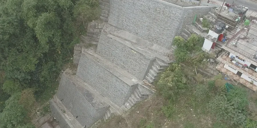
The Parilla Sand that underlies much of the Mildura area at depth is a beautiful aquifer, but it creates a specific risk when you cut into the overlying Blanchetown Clay near the river. That clay unit can act as an aquitard, and where it pinches out along the Murray River banks, you get concentrated seepage exit points that erode the toe of natural and engineered slopes. We’ve mapped piping failures along the Mildura riverfront where a perfectly good-looking walking path suddenly collapses over a void the size of a wheelie bin. A desk-study alone won’t catch that: you need to walk the site, hand-auger the suspected seepage zone, and install a couple of standpipe piezometers to see what the water is actually doing at different depths. The cost of a proper slope stability analysis here is negligible compared to the emergency remediation bill when a section of riverbank gives way and takes landscaping, irrigation lines, or part of a carpark with it. The local council and Lower Murray Water both take a dim view of sediment washing into the river from a failed batter, and the clean-up and fines can stack up quickly.
Quick answers
What is the cost range for a slope stability analysis on a residential block in Mildura?
How do you handle the Woorinen sandy loams that dominate Mildura’s surface geology?
We take undisturbed samples and run consolidated-undrained triaxial tests with pore pressure measurement to capture the effective stress strength parameters. Because these sandy loams have some apparent cohesion from suction when dry, we also test them at natural moisture content and saturated to model the worst-case scenario after heavy irrigation or rain. The difference in Factor of Safety between those two states can be significant, so we always report both.
Can you model the effect of tree root systems near a slope?
Yes. In Mildura there are large river red gums and mature citrus blocks right up against many batter crests. We account for root reinforcement as an additional cohesion term in the upper metre or so of the profile, and we also consider the desiccation effect—roots pulling moisture out of the clay, which can increase shear strength locally. The tricky part is modelling what happens if those trees are removed or die; we usually run a sensitivity case without root reinforcement so you know the lower-bound Factor of Safety.
How long does a slope stability investigation take from start to finish?
A straightforward residential job in Mildura typically takes three to four weeks. The first week covers the site visit and drilling or test pitting. Laboratory testing runs one to two weeks depending on the suite. Modelling and reporting take another week. If the project triggers a planning permit condition that requires council or MDBA review, we build in an extra fortnight for correspondence and any revisions.
Do you include seismic analysis for Mildura slopes if the client doesn't specifically ask for it?
We include a pseudostatic check as standard if the slope is classified as high-risk under AS 4678—typically a slope over six metres high, supporting a structure, or adjacent to a public road. Mildura sits in a relatively low seismic hazard zone (hazard factor Z around 0.05–0.08), so the pseudostatic coefficient is small, but it can still govern the design if the static Factor of Safety is marginal. We use the horizontal coefficient from AS 1170.4 and apply it to the limit equilibrium model.