← Home · Geophysics

MASW and VS30 Shear Wave Velocity Testing in Mildura

Together, we solve the challenges of tomorrow.

LEARN MORE →

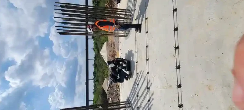
Mildura's expansion across the Murray River floodplain has pushed development onto Quaternary alluvium and clayey sand deposits that vary dramatically in stiffness within a single building footprint. Early subdivisions near the riverfront encountered soft lenses at five metres depth that conventional boreholes missed entirely, prompting local geotechnical engineers to adopt surface wave methods as a routine complement to invasive drilling. We run active and passive MASW arrays across residential lots, commercial pads, and solar farm sites to deliver VS30 profiles that meet AS 1170.4 site classification requirements. For deeper investigations beyond 20 metres where the Parilla Sand formation controls seismic response, we combine the MASW survey with a seismic refraction line to constrain velocity inversions that Rayleigh wave methods alone can misinterpret.

A single MASW line replaces three to five boreholes for seismic site classification, cutting field time by sixty percent while delivering the continuous VS profile that AS 1170.4 requires.

Our approach and scope

The field setup we use in Mildura pairs a 24-channel Geometrics Geode seismograph with 4.5 Hz vertical geophones deployed at three-metre spacing for the active shot, then switches to a passive circular array using ambient noise and up to 32 geophones for the long-wavelength portion. That dual-mode configuration resolves shear wave velocity from one metre depth down to forty metres across the highly variable Blanchetown Clay and Monoman Formation soils found throughout the Sunraysia district. Each record undergoes dispersion curve picking with iterative forward modelling, and we verify fundamental-mode dominance against higher-mode contamination before inverting the profile. The resulting VS30 value falls strictly within the NEHRP site class boundaries (A through E) and provides the Site Natural Period that structural engineers need for base shear calculations under AS 1170.4-2007. Our laboratory holds NATA accreditation to ISO 17025 for the instrument calibration chain, ensuring the entire workflow from geophone response to final velocity model meets the traceability requirements that major infrastructure clients demand.
MASW and VS30 Shear Wave Velocity Testing in Mildura
Technical reference image — Mildura

Site-specific factors

The semi-arid climate of northwest Victoria creates a seasonal challenge that directly affects shear wave velocity measurements: during the dry summer months, near-surface sands and silty clays can lose over ninety percent of their moisture content, artificially raising VS values in the top three metres by up to thirty percent compared to winter readings. If a MASW survey is conducted in February without accounting for this seasonal bias, the resulting VS30 may push a site into a stiffer site class than what governs during the wetter months when the water table rises and pore pressures increase. We address this by recording soil moisture at the time of acquisition and applying a correction factor derived from long-term monitoring at Mildura reference sites. The Murray Basin's paleochannel system introduces a second risk: buried sand lenses with low VS that can escape detection if the passive array aperture is too small. Our standard protocol expands the passive array diameter to at least forty metres when drilling logs suggest channel sediments within the upper twenty metres, ensuring the fundamental-mode dispersion curve captures the low-velocity zone that would otherwise flatten the site response spectrum.

Need a geotechnical assessment?

Reply within 24h.

Email: contact@geotechnicalengineering1.co

Technical parameters

ParameterTypical value
Survey depth range1 m to 40 m (active + passive combined)
VS30 site class outputNEHRP A through E, per AS 1170.4-2007
Geophone array24-channel active, up to 32-channel passive circular
Source type10 kg sledgehammer, weight drop, or ambient noise
Processing softwareGeopsy, WinMASW, or SurfSeis 6
Reporting standardVS30, TNAT, site class, and 1D VS profile
Typical line length46 m to 92 m (varies with target depth)

Complementary services

01

VS30 Site Classification for Residential and Commercial Lots

Single-line or multi-line MASW survey with active source and passive ambient noise recording to determine VS30 and NEHRP site class per AS 1170.4. Includes one-dimensional VS profile, Site Natural Period, and a signed geotechnical report suitable for building permit submission.

02

Deep Passive-Array MASW for Solar Farms and Infrastructure

Extended passive circular arrays using up to 32 geophones for shear wave velocity profiling to forty metres depth. Applied across large-footprint solar installations and road corridors where the Parilla Sand and underlying Tertiary sediments control seismic site response. Delivers layered VS model for dynamic analysis.

Regulatory framework

AS 1170.4-2007 Structural design actions – Earthquake actions in Australia, AS 1726-2017 Geotechnical site investigations, NEHRP Provisions (FEMA 450) for seismic site classification, AS 1289/D4428M-14 Standard Test Methods for Crosshole Seismic Testing (adapted for surface wave method quality control), ISO 17025:2017 General requirements for the competence of testing and calibration laboratories

Quick answers

How much does a MASW survey cost for a standard residential lot in Mildura?
What is the difference between active and passive MASW, and why do you use both?

Active MASW uses a sledgehammer or weight-drop source and a short geophone spread to resolve shear wave velocity in the upper ten to fifteen metres with high resolution. Passive MASW records ambient noise and microtremors using a wider sensor array, extracting the low-frequency dispersion curve needed to profile down to thirty or forty metres. Combining both methods gives a continuous VS profile from one metre to full depth, which is essential when soft Blanchetown Clay near the surface overlies stiffer Parilla Sand: the active method captures the shallow contrast, and the passive method reaches the deeper competent material that governs the site period.

How does AS 1170.4 use VS30 for earthquake design in Mildura?

AS 1170.4-2007 classifies sites into five classes (A through E) based on the average shear wave velocity in the top thirty metres. VS30 determines the site factor that scales the design response spectrum for structural analysis. In Mildura, where earthquake hazard is low to moderate, most sites fall into class C or D depending on the thickness and stiffness of the near-surface alluvium. A correctly measured VS30 ensures the structural engineer does not over-design for an unnecessarily stiff site class or under-design by assuming softer conditions than exist.

Can MASW replace boreholes entirely for a geotechnical investigation?

MASW replaces boreholes for seismic site classification and VS30 determination, but it does not provide the physical soil samples needed for laboratory strength testing or visual logging of stratigraphy. In Mildura practice, we typically recommend one or two boreholes with SPT sampling combined with a MASW line to cover the full investigation scope: the boreholes calibrate the velocity model to known stratigraphy, and the MASW line extends the seismic profile across the site at a fraction of the cost of additional drilling.

Location and service area

We serve projects across Mildura and surrounding areas.

View larger map